 |
1872 Map
of NE Ohio Counties (Enlargement) |
 |
|
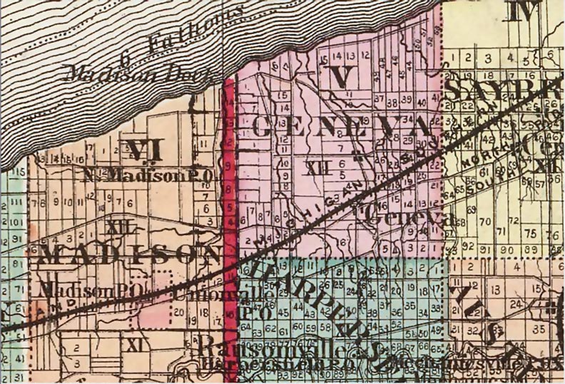
Topographical atlas of Ohio. Ashtabula, Geauga, Lake, Mahoning, Portage
and Trumbull counties. Clicking on the map will bring up a slight enlargement of Harpersfield Twp. I have highlighted the individual lots, in the Township, owned by Alexander Harper at the time of his death. Note this will be an additional 258K download. |
|
 |
This site
maintained by Rick Harper Images copyright 1998, 1999, 2000, 2001, 2002, 2003, 2004, 2005, 2006 All rights reserved |